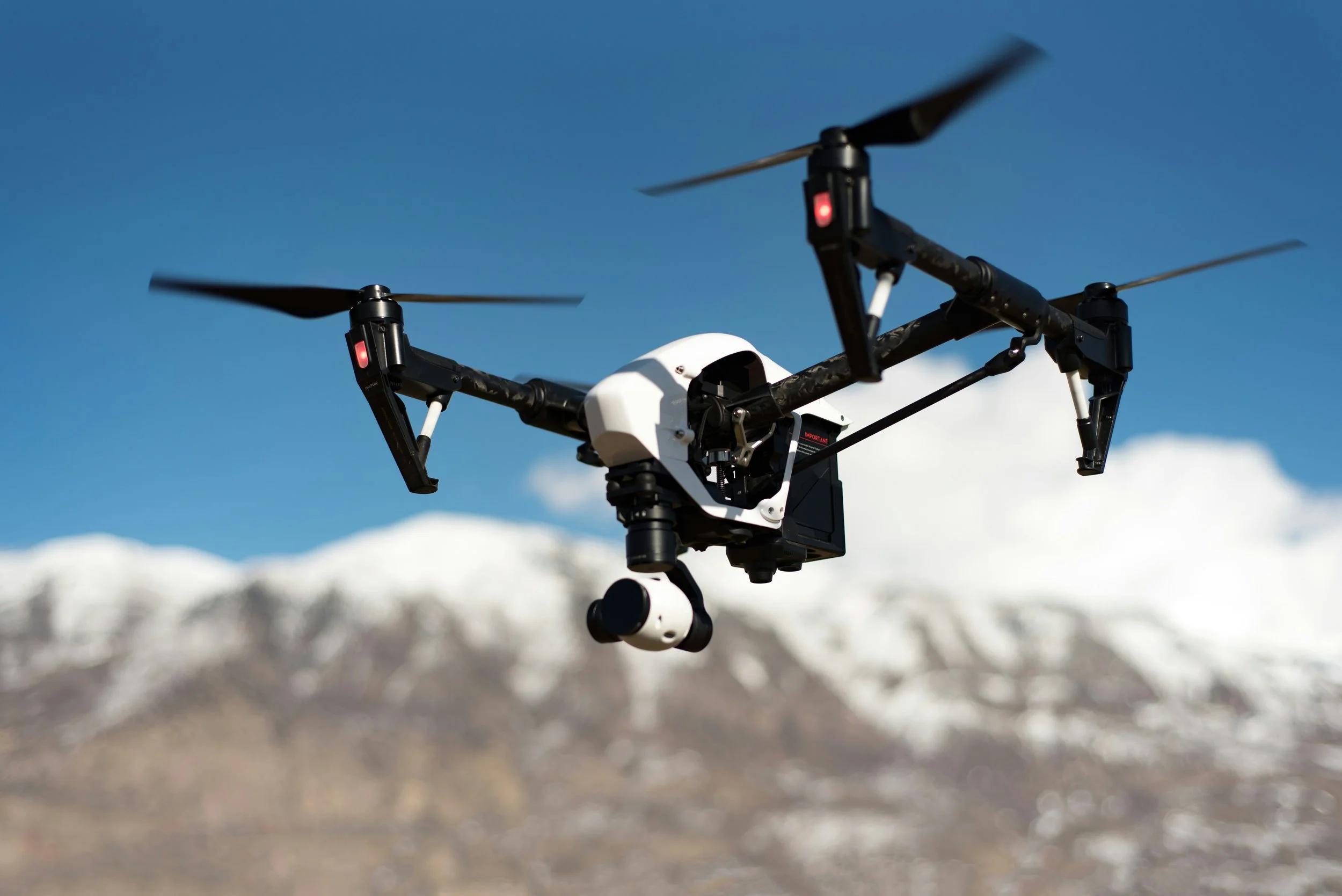
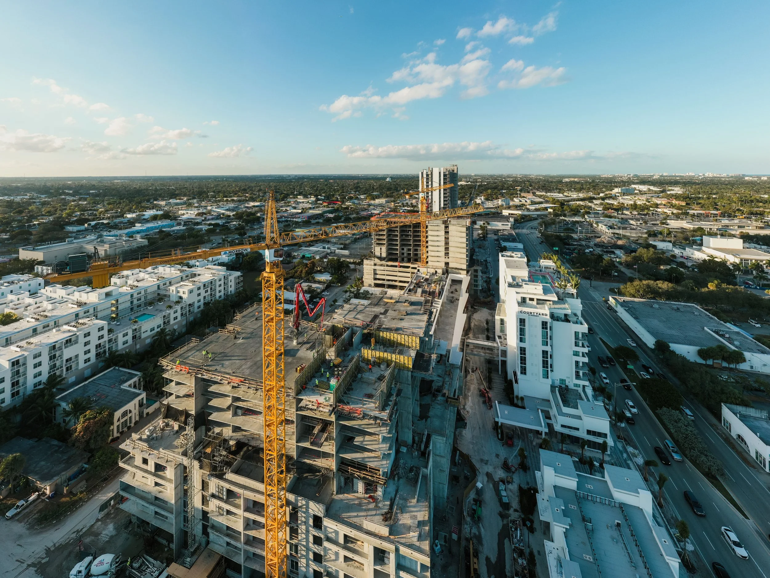
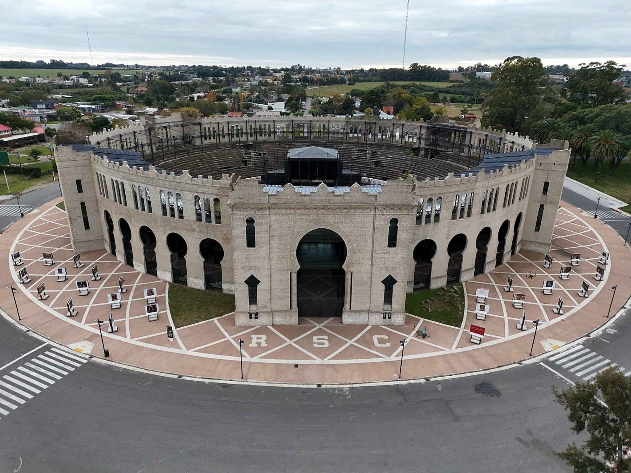
Modern drone technology gives you a whole new way to see, document, and present your projects. From crisp aerial photography and smooth, cinematic video to precise site documentation and 3D mapping. Drones reveal angles and details that aren’t visible from the ground. Whether you’re tracking progress, showcasing a property or project, or creating detailed models, the view from above can transform how your work is seen and understood. At Epic Aerials and 3D Mapping, we use professional drone technology to turn the view from above into clear, useful and compelling visual information.